Truckee to the fire closure
Back on trail after three zeros, through the Donner Summit crowds and the North Yuba pools, and off at day 77 when the Dixie Fire closed the trail.
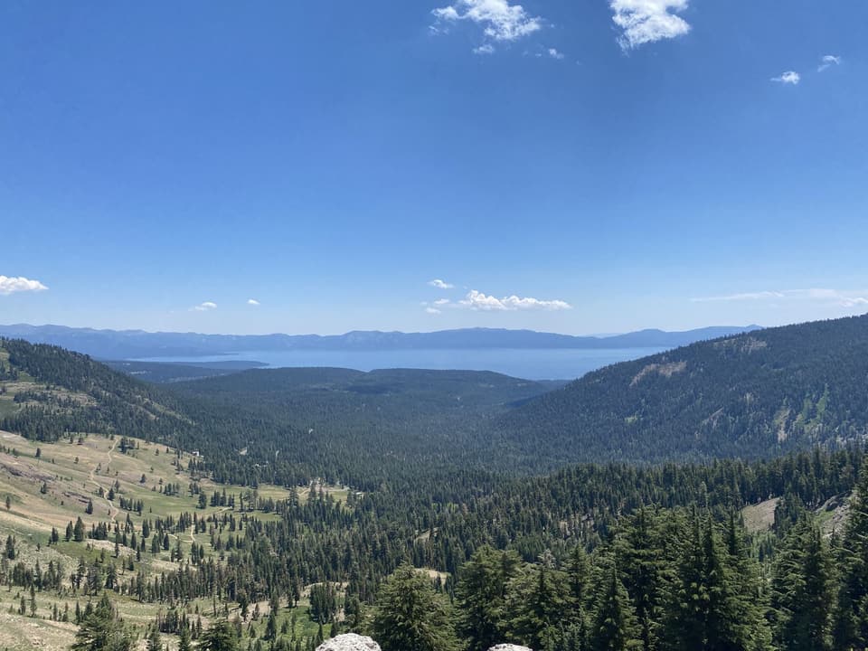
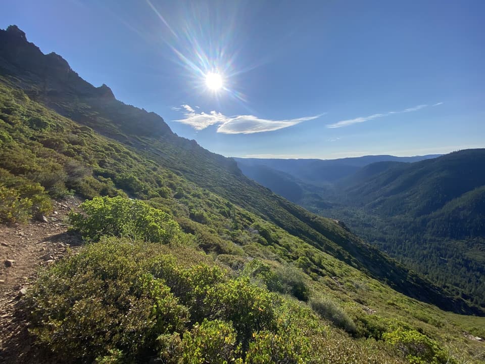
Three zeros ended the only way they can: “3 zeros and back to trail,” 21.9 miles, with Lake Tahoe falling away behind the crest. New shoes, a bear-proof Ursack where the rented canister used to be, and legs that had forgotten nothing.
Day 73 went “through crazy Donner Summit,” and crazy is the right word in July, when every trailhead within two hours of Sacramento is full.
Every quoted line is from 2021, verbatim.
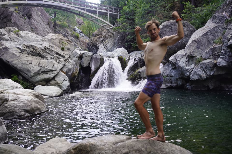
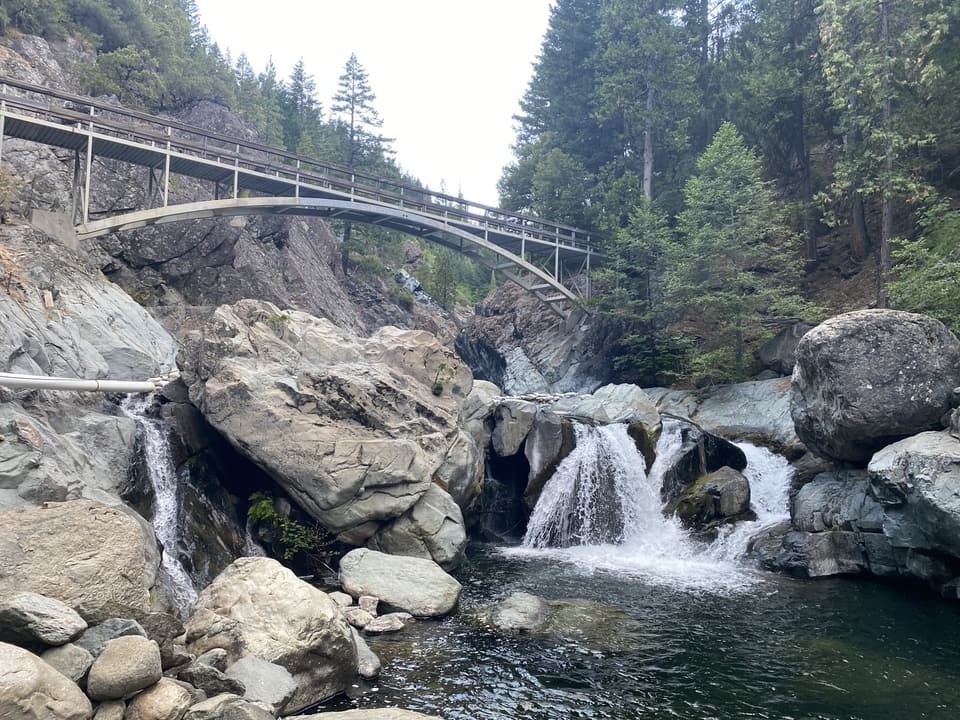
It took one more 27-mile day before the Strava title could exhale: “finally out of the high traffic zone.” That day ended at the pools under the Highway 49 bridge on the North Yuba. There’s a photo of me flexing on a boulder there. I’d earned it.
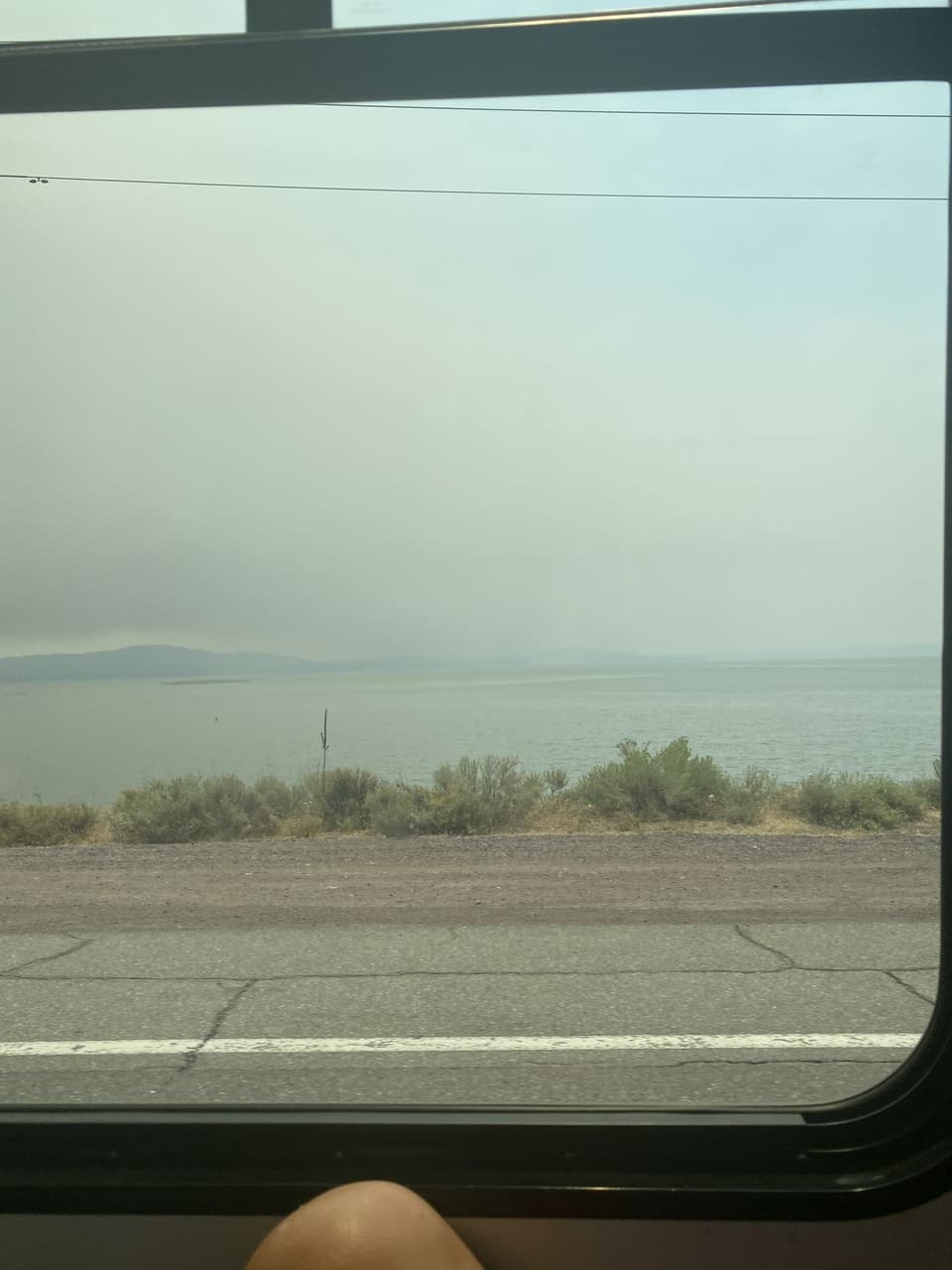
Day 76 pushed 28 miles toward Quincy through old burn scar, and day 77’s title made it official: “hopping off trail due to fire closure.” Sometimes in 2021 the trail was a bus seat.
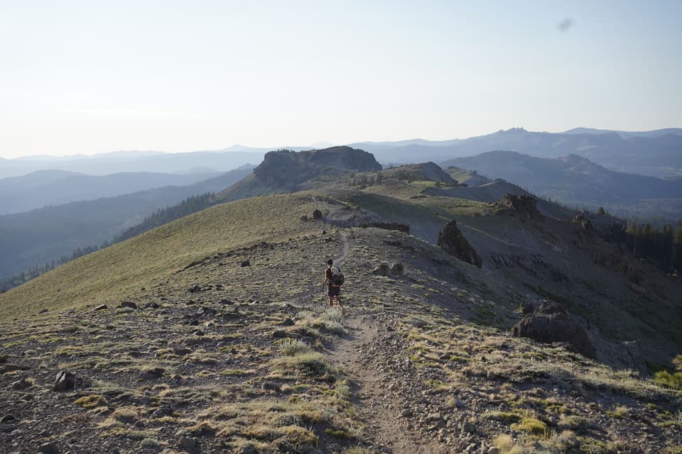
keep walking